July 24, 2011
Souris, PEI -Prince Edward Island, Canada
Souris 2 Souris Harbor
Souris... pronounced Sore- - ee is a maginficent place on the East end of Prince Edward Island - PEI.
The ferry / ship -- MV Madeleine -- that runs daily to the Iles de las Madeleine.... about 75 miles due North in the middle of the Gulf of St Lawrence is about to leave port and put to sea. To get some better / different pix walk over to the adjacent city warf / docks / piers.
Mostly local fishing boats, this is a working harbor. A few pleasure boats .... mostly fishers. Several fishing boats are preparing to head out ; crews are making ready, some already leaving port to fish. Life is ruled by the tides
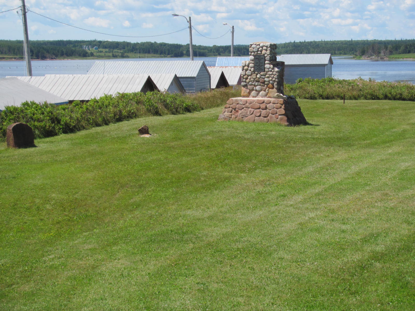
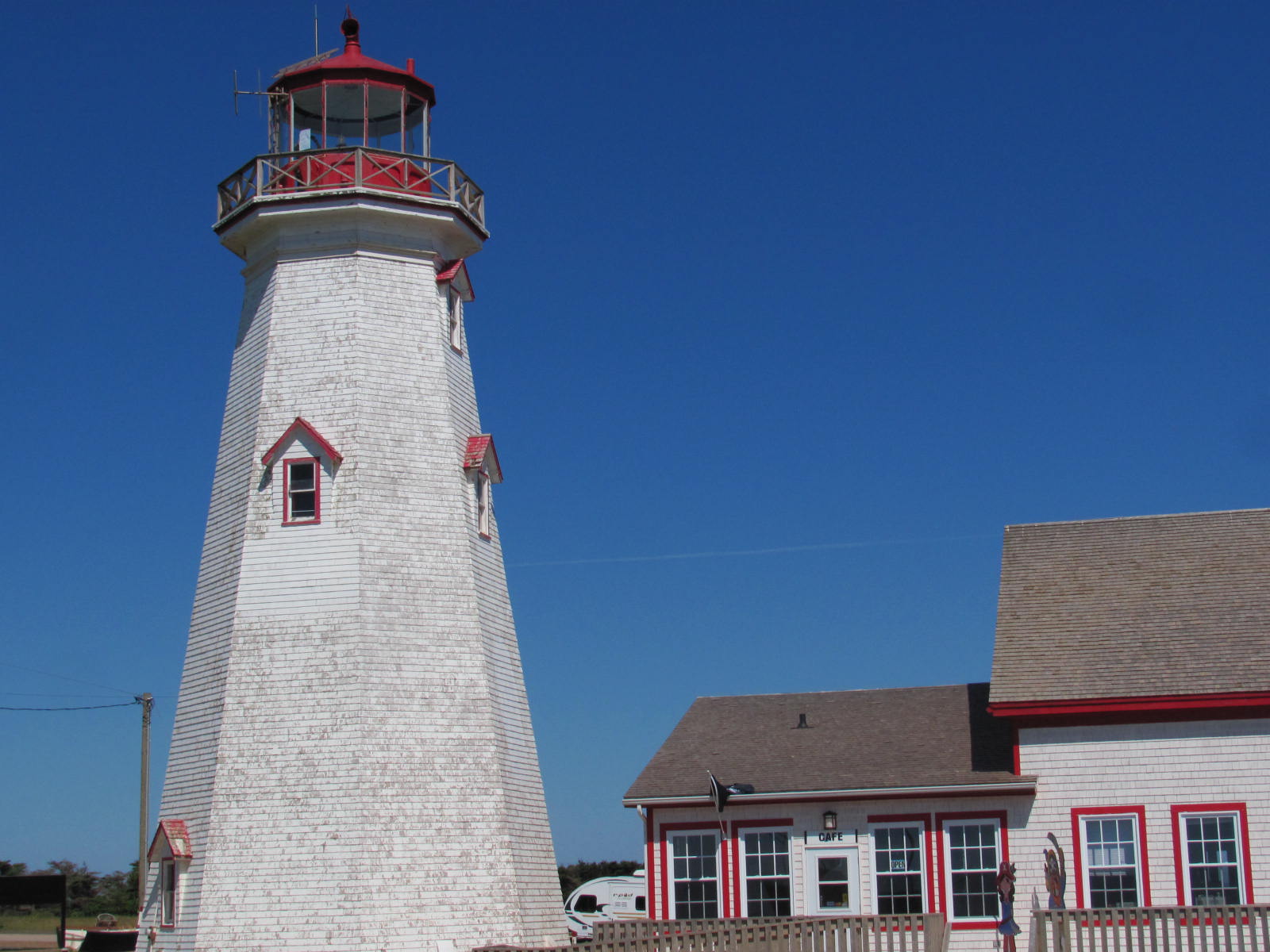
Souris is a really neat looking and interesting harbor. A lot of boats. Fishery warehouses / seafood processors and businesses. Wind is about 25+ today. Sea air. Cool , Bright sun, some clouds... Red and white Souris lighthouse up on that red sandstone point... 200' overlooking the harbor .... A beautiful day on Souris harbor.
Walked through the warf / docks to get a better view of MV Madeleine leaving port. The Canadian Coast Guard has a post / boat here, looks squared away and ready to go on a moments notice. Thanks coasties for standing that post!
T-bird gets out the fishing equipment and in about 30 minutes has caught a half dozen mackerel; enough for supper tonight. Stuff like this makes it fun to wander.
The days plan is to make it to Red Point. we'll see. ... we've already stuck around to see all the interesting things that's going on here, and fished some. Eventually will get to East Point lighthouse; the North Easternmost tip of PEI. Also see Red Point / Stanhope - Brackley - Dalvay / East Point posts
Up on the point at the lighthouse... the view of Souris harbor is really good.


MARNE 35 # 119
July 24, 2011
Souris, PEI -Prince Edward Island, Canada
Souris 2 Souris Harbor
Souris... pronounced Sore- - ee is a maginficent place on the East end of Prince Edward Island - PEI.
The ferry / ship -- MV Madeleine -- that runs daily to the Iles de las Madeleine.... about 75 miles due North in the middle of the Gulf of St Lawrence is about to leave port and put to sea. To get some better / different pix walk over to the adjacent city warf / docks / piers.
Mostly local fishing boats, this is a working harbor. A few pleasure boats .... mostly fishers. Several fishing boats are preparing to head out ; crews are making ready, some already leaving port to fish. Life is ruled by the tides
Souris is a really neat looking and interesting harbor. A lot of boats. Fishery warehouses / seafood processors and businesses. Wind is about 25+ today. Sea air. Cool , Bright sun, some clouds... Red and white Souris lighthouse up on that red sandstone point... 200' overlooking the harbor .... A beautiful day on Souris harbor.
Walked through the warf / docks to get a better view of MV Madeleine leaving port. The Canadian Coast Guard has a post / boat here, looks squared away and ready to go on a moments notice. Thanks coasties for standing that post!
T-bird gets out the fishing equipment and in about 30 minutes has caught a half dozen mackerel; enough for supper tonight. Stuff like this makes it fun to wander.
The days plan is to make it to Red Point. we'll see. ... we've already stuck around to see all the interesting things that's going on here, and fished some. Eventually will get to East Point lighthouse; the North Easternmost tip of PEI. Also see Red Point / Stanhope - Brackley - Dalvay / East Point posts
Up on the point at the lighthouse... the view of Souris harbor is really good.