Wed July 13, 2011
Tablelands Newfoundland 1
Woody Point, Newfoundland Hwy 431 to Trout River NFLD
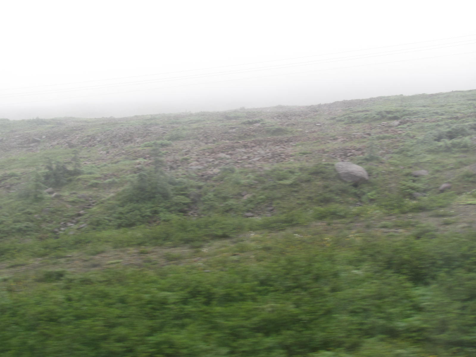
While driving from Woody Point, Newfoundland to Trout River... there is a geologic phenomenon called "Tablelands".
The fog and rain limited visability but when you could see it.... it's like... ???What is it that takes place here to create this??? This is surreal!!!
This barren rock plateau on the south side... valley, river,... green foliage mountains on the north side... really good!
--- wikipedia--
The Tablelands, found between the towns of Trout River and Woody Point in Gros Morne National Park, look more like a barren desert than traditional Newfoundland. This is due to the ultramafic rock – peridotite – which makes up the Tablelands. It is thought to originate in the Earth's mantle and was forced up from the depths during a plate collision several hundred million years ago. Peridotite lacks the usual nutrients required to sustain most plant life, hence its barren appearance. The rock is very low in calcium, very high in magnesium, and has toxic amounts of heavy metals. Peridotite is also high in iron, which accounts for its brownish colour (rusted colour). Underneath this weathered zone, the rock is really a dark green colour. --
Driving to Trout River from Woody Point you see this and know there is some type of geologic phenomenon taking place here. It is a real treat on these journeys to see significant geologic changes within a couple of miles.
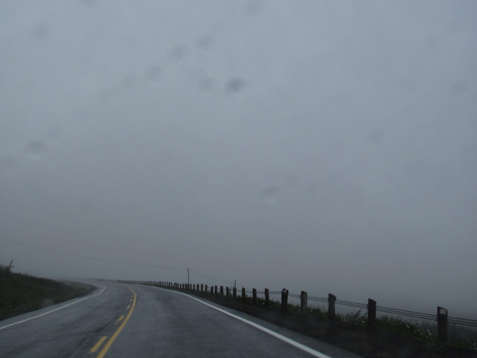
The pix are horrible... overcast, rain, fog,... visability of a couple hundred feet.
Also see Tablelands 2 for a few pix on the return drive from Trout River.
Also see Trout River, NFLD posts


MARNE 24 #75
Wed July 13, 2011
Tablelands Newfoundland 1
Woody Point, Newfoundland Hwy 431 to Trout River NFLD
While driving from Woody Point, Newfoundland to Trout River... there is a geologic phenomenon called "Tablelands".
The fog and rain limited visability but when you could see it.... it's like... ???What is it that takes place here to create this??? This is surreal!!!
This barren rock plateau on the south side... valley, river,... green foliage mountains on the north side... really good!
--- wikipedia--
The Tablelands, found between the towns of Trout River and Woody Point in Gros Morne National Park, look more like a barren desert than traditional Newfoundland. This is due to the ultramafic rock – peridotite – which makes up the Tablelands. It is thought to originate in the Earth's mantle and was forced up from the depths during a plate collision several hundred million years ago. Peridotite lacks the usual nutrients required to sustain most plant life, hence its barren appearance. The rock is very low in calcium, very high in magnesium, and has toxic amounts of heavy metals. Peridotite is also high in iron, which accounts for its brownish colour (rusted colour). Underneath this weathered zone, the rock is really a dark green colour. --
Driving to Trout River from Woody Point you see this and know there is some type of geologic phenomenon taking place here. It is a real treat on these journeys to see significant geologic changes within a couple of miles.
The pix are horrible... overcast, rain, fog,... visability of a couple hundred feet.
Also see Tablelands 2 for a few pix on the return drive from Trout River.
Also see Trout River, NFLD posts